Services
How can we help you?

Survey
JatayuGeo collects quantitative information about each points in multiple segment for survey such as..
- Land Survey
- Building Survey
- Pipeline Survey
- Topographic Surveys
- Boundary Surveys
- Road Railway Surveys
- Bridge Survey
- Hill Survey
- 5G Site Survey
- Auto CAD Services
- Levelling Services

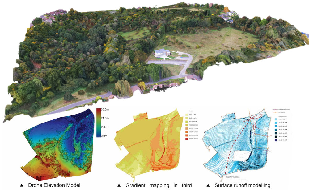
GIS Analysis
JatayuGeo Creates, Manages, Analyzes and Maps all types of data and provide high level analysis for GIS.
- Imagery Services
- Remote Sensing
- Photogrammetry
- LiDAR
Data Management
JatayuGeo provides Data Management services for Conversion and Maintenance, Mapping, Geo- referencing & Data Migration in multiple sectors such as ..
- Geological Data
- Telecom
- Agriculture
- Natural Resources
- Water Resources
- Urban & Rural Sectors
- Minerals and Mining
- Insurance and Re- insurance
- Defence
- Infrastructure Planning
- Geo-marketing
- Disaster Management
- Developmental Planning